Solution realestate
ideal for property advertisements
Show your customers property in 3D!
Terra Mapper is a SfM estimation software.
Create customised 3D models to share with clients or advertise your business.
With Terra Mapper, you can create an interactive and attractive website especially in comparison to 2D modelling.
Here are some easy steps to create 3D modeling of properties.

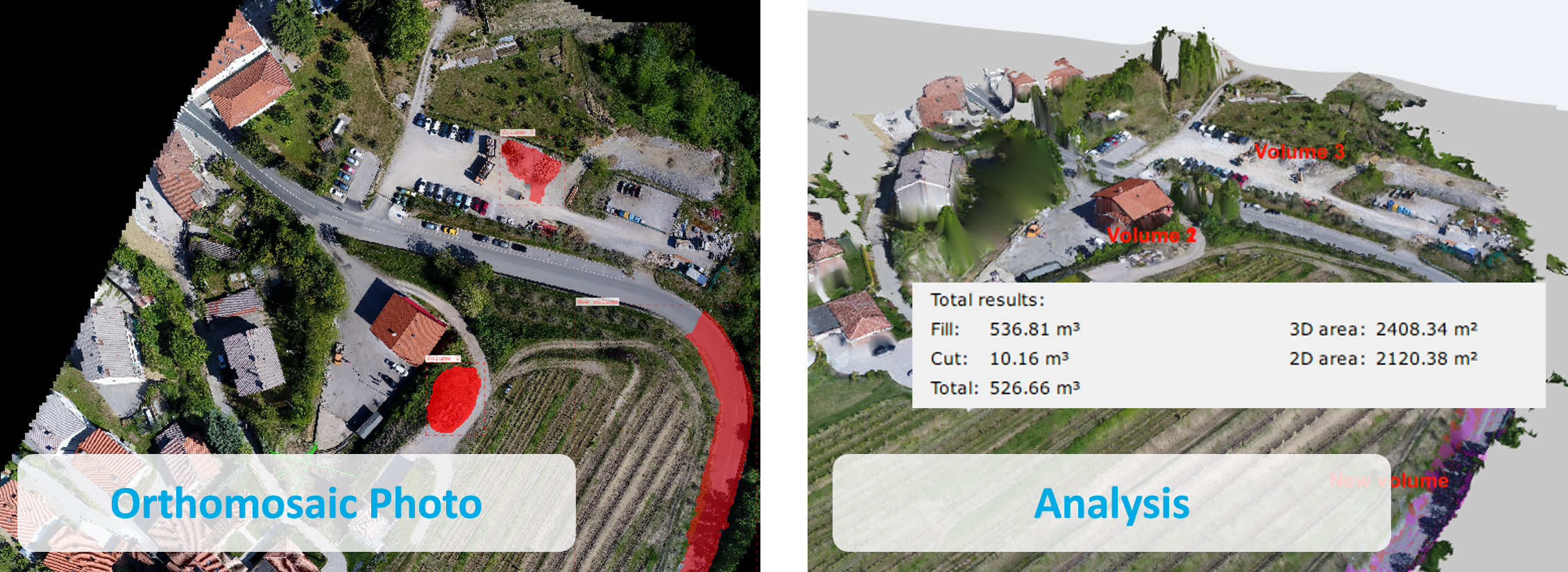
CAD software linkage
Compatible with third party software enabling editing and analysing in greater detail.
Supports various output formats including:
Image: JPEG, GIF, PNG, TIFF, PDF, etc.
Point group: CSV, LAS, TXT, etc.
CAD: DXF etc.
Flow
Compatible with third party software enabling editing and analysing in greater detail.
Supports various output formats including:
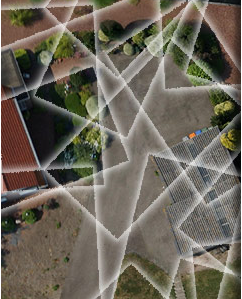
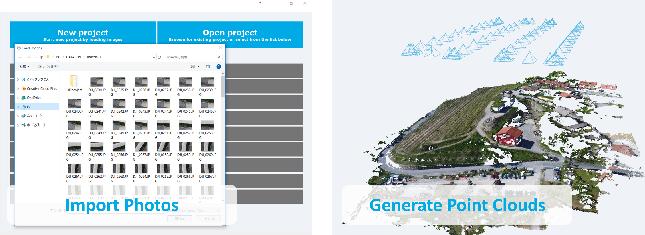
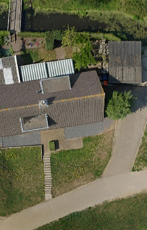
Capture Images
Take photos from the ground or use UAVs to capture aerial property images.
Import into Terra Mapper
Let Terra Mapper do all the hard work for you! It automatically generates a point cloud with realistic colours.
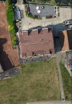
Generate an orthophoto
Automatic Generation of high-quality orthophotos based on captured aerial images of properties and surroundings.
Basic Functions of Terra Mapper