Calculate distance
1. Click “Distance” on the toolbar and click again on any part of the map to determine the starting point.
2. Click the last clicked point again to make that point the end point.
3. Click the “Fetch 3D Data” button to calculate and display data related 3D parameter.
The data obtained is linear distance on xy plane, linear distance on xyz space, surface distance and slope.
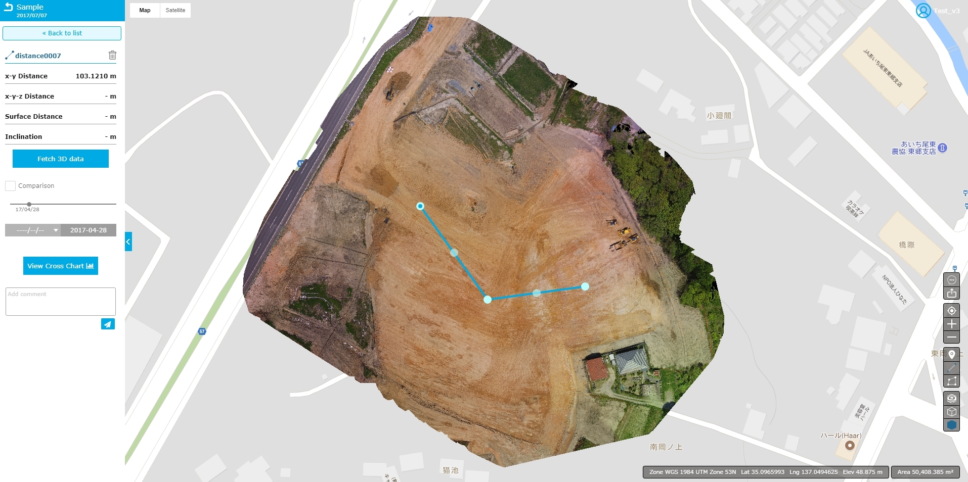
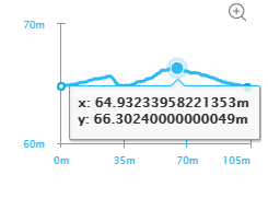
4. A cross-sectional view can be obtained referring to the altitude and coordinates of the trajectory selected in “View Cross Chart”.
· Click on the plus icon at the top right of the bottom in the photo below to obtain an enlarged cross section. Also, as you move the cursor to the section, the XY coordinates of that point are displayed.
Q. How can I erase the marker once attached?
A. Select the corresponding marker from the left tab and click the trash can button.
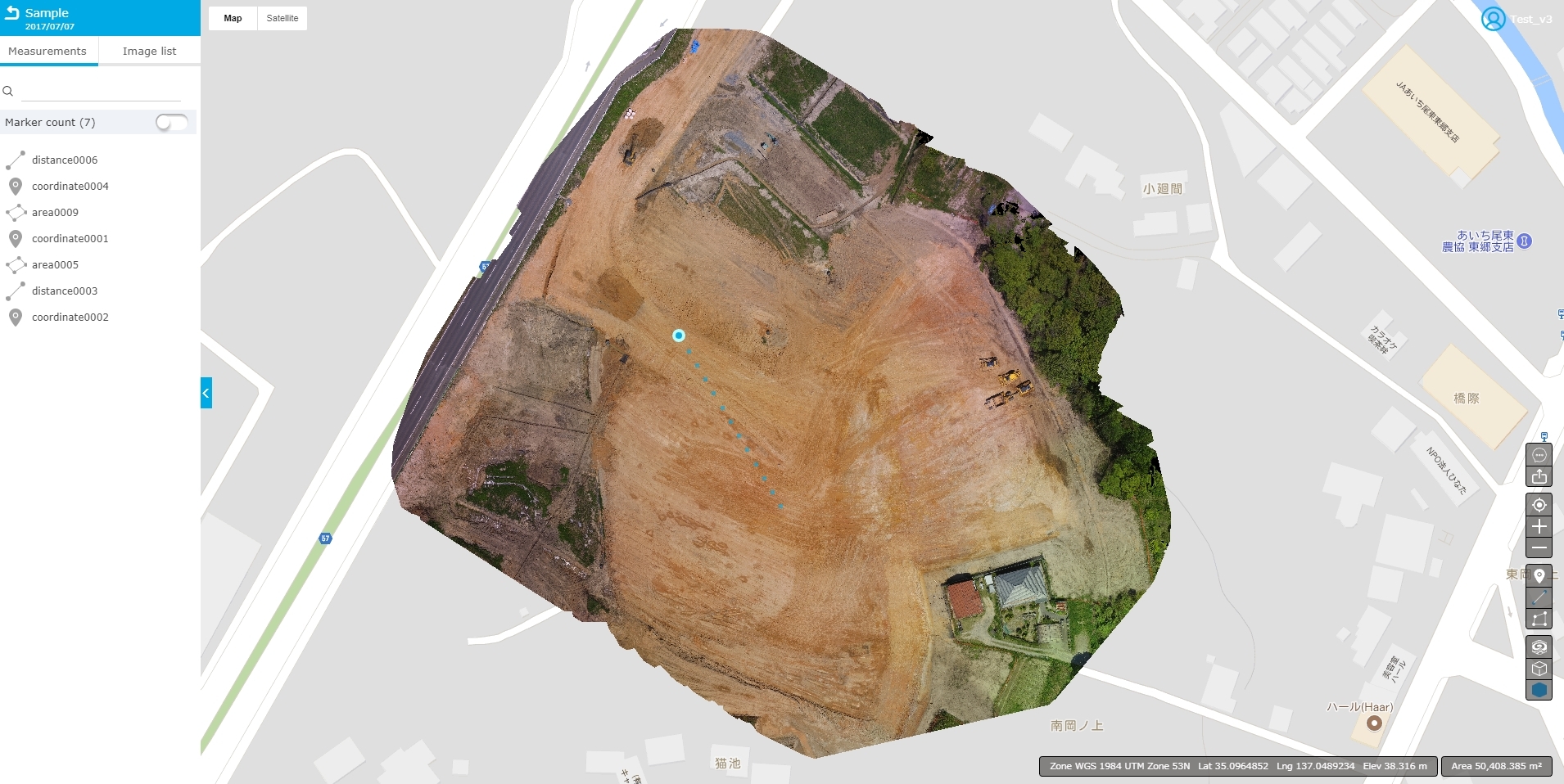
Q. Which line in the map does the survey marker correspond to?
A. Click “Marker count” on the left hand side and select one from the list.